Tree Planting Sites Identification
Abstract
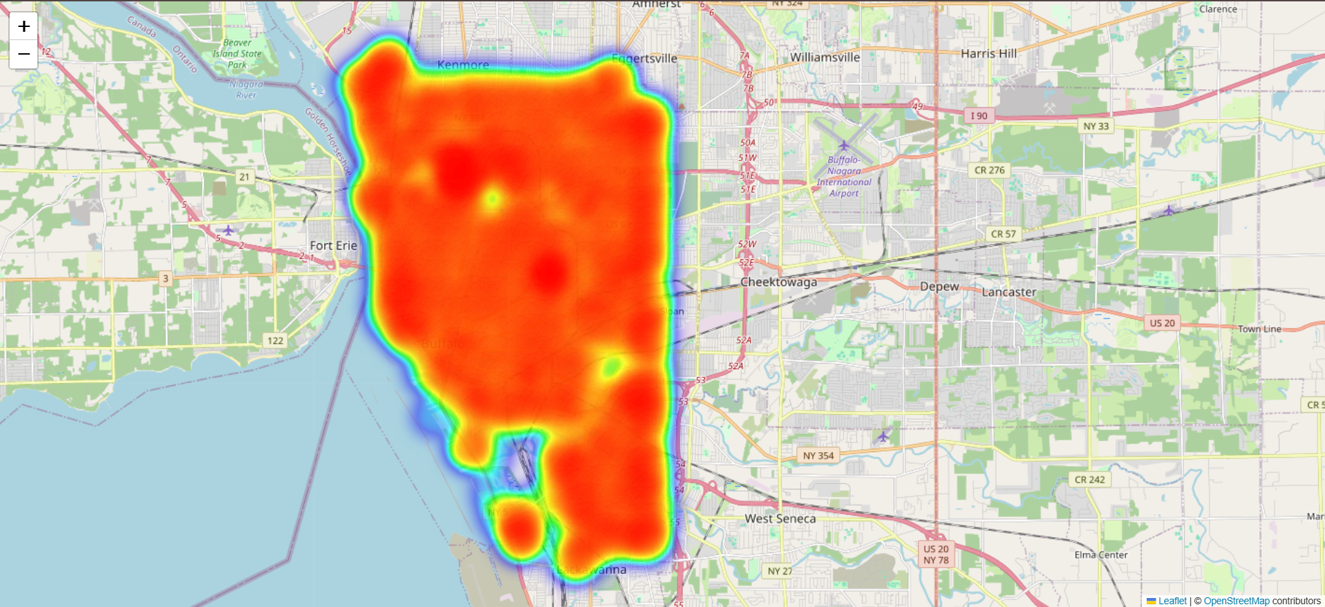
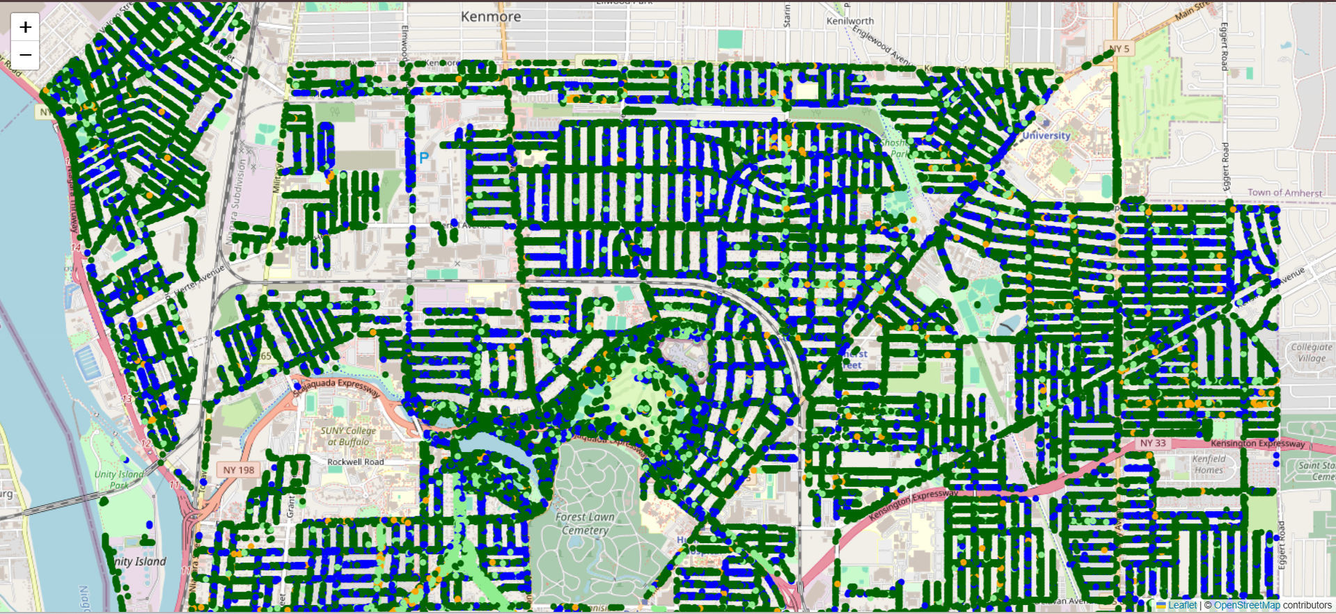
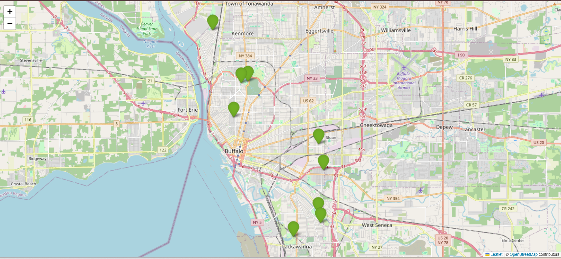
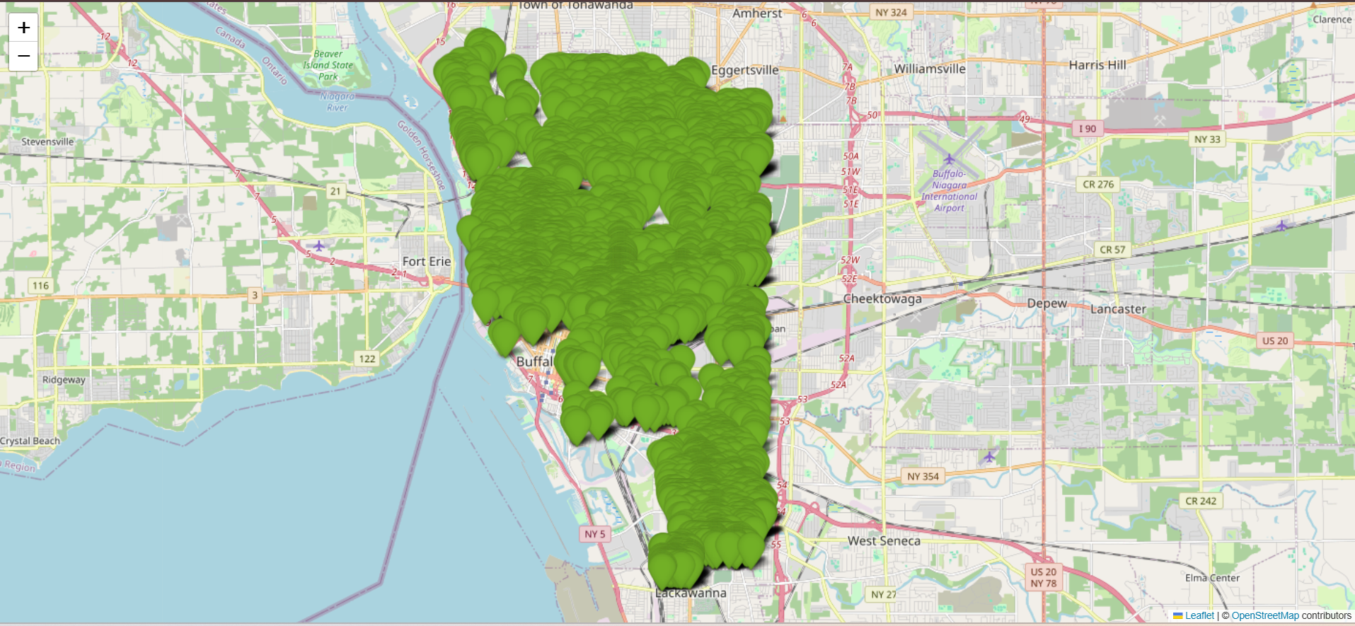
This project identifies optimal urban tree planting sites in Buffalo, NY using the Bureau of Forestry Tree Inventory dataset (133,000+ records). We applied K-Means clustering, regression models, and decision tree classification combined with geospatial visualization (heatmaps & interactive maps) to recommend zones for new plantations. Results highlight priority areas with low eco-benefits where strategic tree planting can maximize environmental impact.
Method Overview

Interactive Maps
Explore interactive results directly below (pan, zoom, and inspect data points):
Results
Conclusion
Our data-driven framework successfully highlights urban zones where tree planting can significantly improve environmental benefits such as CO₂ absorption and stormwater retention. The approach can be extended to other cities to guide smart urban forestry planning.